
Datei:Hauts-de-Seine department relief location map.jpg
Grate faan detdiar föörskaubil: 355 × 599 pixel. Ööder apliasangen: 142 × 240 pixel | 284 × 480 pixel | 823 × 1.389 pixel.
Originaal datei (823 × 1.389 pixels, dateigrate: 228 KB, MIME-typ: image/jpeg)
Beskriiwang
| Kameraposition | | Dieses und weitere Bilder auf OpenStreetMap |
|---|
| Beskriiwang |
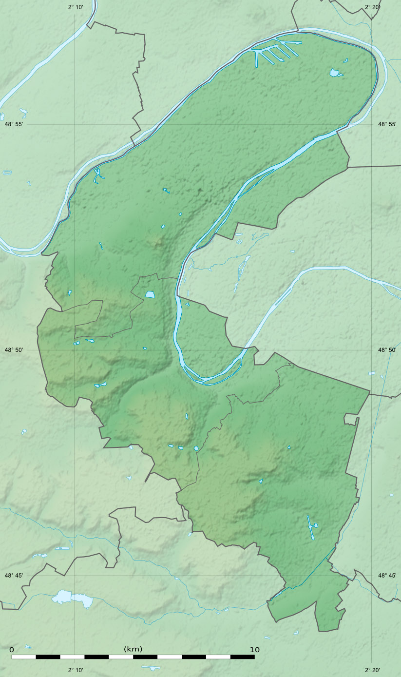
English: Blank physical map of the department of the Hauts-de-Seine, France, as in January 2015, for geo-location purpose, with distinct boundaries for departments and arrondissements.
Français : Carte physique vierge du département des Hauts-de-Seine, France, tel qu'en janvier 2015, destinée à la géolocalisation, avec limite distincte des départements et arrondissements. Scale:
Equirectangular projection, WGS84 datum
Geographic limits of the map:
|
||
| Dootem | |||
| Kwel |
Aanj werk
|
||
| Skriiwer of Konstler | Eric Gaba (Sting - fr:Sting) | ||
| Ferloof (Hü det datei brükt woort) |
|
||
| Ööder wersioonen |
|

Lisens
Eric Gaba, Wikimedia Commons user Sting häält a rochten üüb detdiar werk an dää det frei oner det lisens:
Detdiar datei häält en lisens oner det Creative-Commons-lisens „Nööm nääm - Oner salew konditjuunen 3.0. Ei portiaret“.
nööm nääm: Eric Gaba, Wikimedia Commons user Sting
- Dü mutst detdiar werk
- widjer du – detdiar werk kopiare an widjer du
- nei tuupstel – det werk feranre
- Oner jodiar konditjuunen:
- Nööm nääm – Dü skel di nööm faan di skriiwer of konstler nääm. Oober ei so, dat at so ütjsjocht, üs wan hi din werk gud fanjt.
- Oner josalew konditjuunen widjerdu – Wan dü detdiar werk feranerst, skel dü det resultaat oner detsalew lisens widjer du.
Datei wersioonen
Klike üüb en tidjponkt, am detdiar wersion uuntulukin.
| Dootem/Tidj | Föörskaubil | Miaten | Brüker | Komentaar | |
|---|---|---|---|---|---|
| aktuel | 17:36, 12. Feb. 2015 | | 823 × 1.389 (228 KB) | Sting | Boundaries correction |
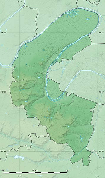
| 00:40, 24. Jan. 2015 |  | 823 × 1.389 (302 KB) | Sting | == {{int:filedesc}} == {{Location|48|50|15|N|02|14|15|E|scale:300000}} {{Information |Description={{en|Blank physical map of the department of the Hauts-de-Seine, France, as in January 2015, for geo-location purpose, with distinc... |
Hü det datei brükt woort
Detdiar sidj brükt detdiar datei:
Globaal brük faan datein
Jodiar ööder Wikis brük detdiar datei:
- Brük üüb als.wikipedia.org
- Brük üüb de.wikipedia.org
- Brük üüb eo.wikipedia.org
- Brük üüb fr.wikipedia.org
- Boulogne-Billancourt
- Colombes
- Asnières-sur-Seine
- Courbevoie
- Clamart
- Chaville
- Clichy
- Meudon
- Antony
- Issy-les-Moulineaux
- Levallois-Perret
- Gennevilliers
- Puteaux
- Sèvres
- Bagneux (Hauts-de-Seine)
- Bois-Colombes
- Bourg-la-Reine
- Châtenay-Malabry
- Garches
- La Garenne-Colombes
- Malakoff (Hauts-de-Seine)
- Marnes-la-Coquette
- Saint-Cloud
- Vanves
- Vaucresson
- Villeneuve-la-Garenne
- Île Saint-Germain
- Île Seguin
- Île de la Jatte
- Bataille de Buzenval (1871)
- Forêt de Fausses-Reposes
- Neuilly-sur-Seine
- Suresnes
- Mont Valérien
- Géographie des Hauts-de-Seine
- Forêt de Meudon
- Île de Puteaux
- Sceaux (Hauts-de-Seine)
- Rueil-Malmaison
- Le Plessis-Robinson
Muar globaal brük faan detdiar datei.