
Datei:Nord department relief location map.jpg
Grate faan detdiar föörskaubil: 717 × 600 pixel. Ööder apliasangen: 287 × 240 pixel | 574 × 480 pixel | 918 × 768 pixel | 1.224 × 1.024 pixel | 1.384 × 1.158 pixel.
Originaal datei (1.384 × 1.158 pixels, dateigrate: 275 KB, MIME-typ: image/jpeg)
Beskriiwang
| Kameraposition | | Dieses und weitere Bilder auf OpenStreetMap |
|---|
| Beskriiwang |
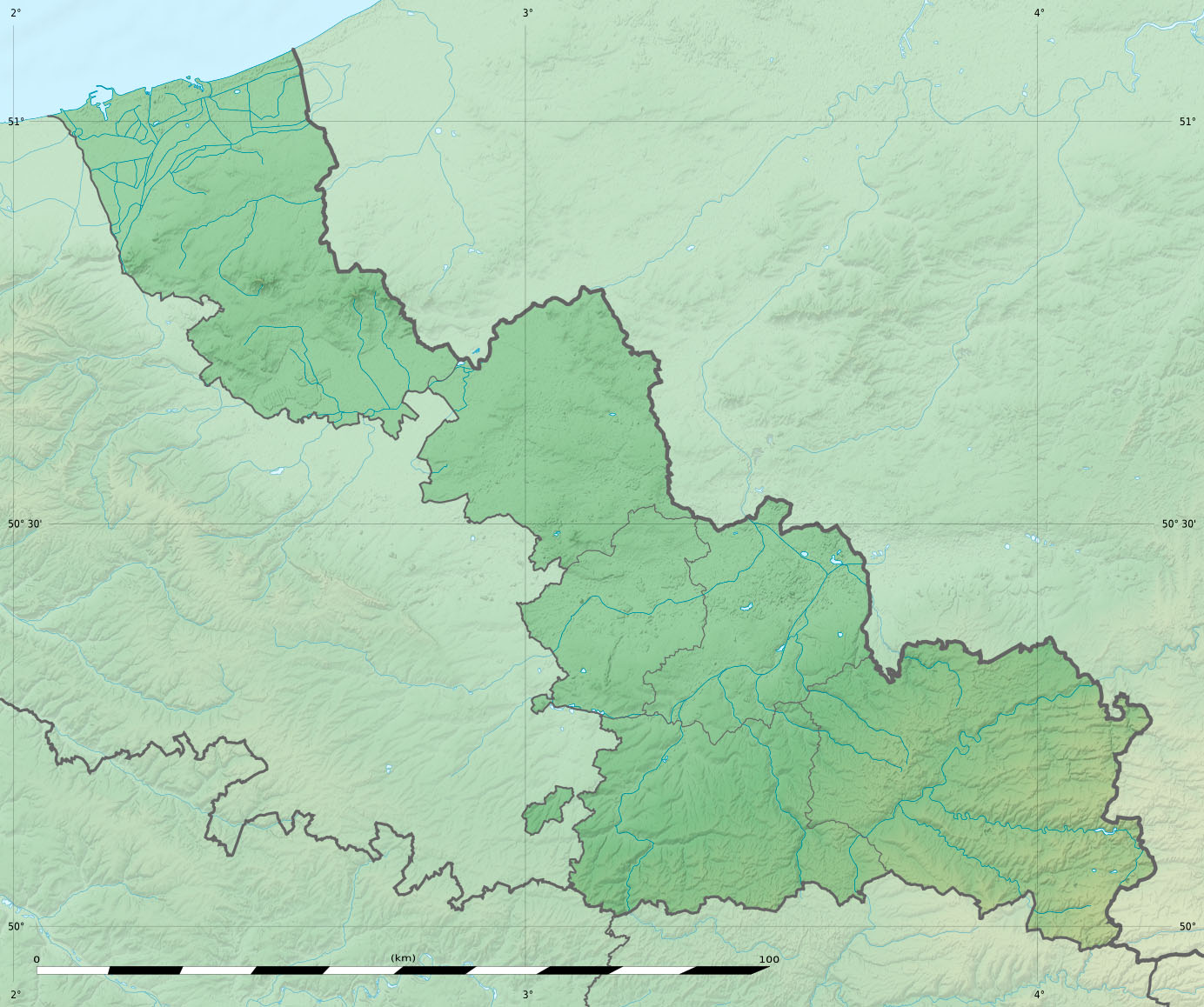
English: Blank physical map of the department of Nord, France, for geo-location purpose, with distinct boundaries for regions, departments and arrondissements.
Français : Carte physique vierge du département du Nord, France, destinée à la géolocalisation, avec limite distincte des régions, départements et arrondissements. Scales:
Equirectangular projection, WGS84 datum
Geographic limits of the map:
|
||
| Dootem | |||
| Kwel |
Aanj werk
|
||
| Skriiwer of Konstler | Eric Gaba (Sting - fr:Sting) | ||
| Ferloof (Hü det datei brükt woort) |
|
||
| Ööder wersioonen |
|

Lisens
Eric Gaba, Wikimedia Commons user Sting häält a rochten üüb detdiar werk an dää det frei oner det lisens:
Detdiar datei häält en lisens oner det Creative-Commons-lisens „Nööm nääm - Oner salew konditjuunen 3.0. Ei portiaret“.
nööm nääm: Eric Gaba, Wikimedia Commons user Sting
- Dü mutst detdiar werk
- widjer du – detdiar werk kopiare an widjer du
- nei tuupstel – det werk feranre
- Oner jodiar konditjuunen:
- Nööm nääm – Dü skel di nööm faan di skriiwer of konstler nääm. Oober ei so, dat at so ütjsjocht, üs wan hi din werk gud fanjt.
- Oner josalew konditjuunen widjerdu – Wan dü detdiar werk feranerst, skel dü det resultaat oner detsalew lisens widjer du.
Datei wersioonen
Klike üüb en tidjponkt, am detdiar wersion uuntulukin.
| Dootem/Tidj | Föörskaubil | Miaten | Brüker | Komentaar | |
|---|---|---|---|---|---|
| aktuel | 21:24, 3. Aug. 2011 | | 1.384 × 1.158 (275 KB) | Sting | == {{int:filedesc}} == {{Location|50|31|30|N|03|09|00|E|scale:500000}} {{Information |Description={{en|Blank physical map of the department of Nord, France, for geo-location purpose, with distinct boundaries for regions, d |
Hü det datei brükt woort
Detdiar sidj brükt detdiar datei:
Globaal brük faan datein
Jodiar ööder Wikis brük detdiar datei:
- Brük üüb als.wikipedia.org
- Brük üüb de.wikipedia.org
- Brük üüb eo.wikipedia.org
- Villeneuve-d'Ascq
- Saint-Amand-les-Eaux
- Bruille-Saint-Amand
- La Bassée
- Valenciennes
- Dunkerque
- Oost-Cappel
- Bergues
- Avesnes-sur-Helpe
- Armentières
- Hondschoote
- Lambersart
- Tourcoing
- Coudekerque-Branche
- Denain
- Wahagnies
- Grande-Synthe
- Bousies
- Le Favril (Nordo)
- Maroilles (Nordo)
- Bas-Lieu
- Beugnies
- Dompierre-sur-Helpe
- Dourlers
- Felleries
- Flaumont-Waudrechies
- Floursies
- Ramousies
- Saint-Aubin (Nordo)
- Saint-Hilaire-sur-Helpe
- Sémeries
- Semousies
- Taisnières-en-Thiérache
- Avesnelles
- Beaurepaire-sur-Sambre
- Boulogne-sur-Helpe
- Cartignies
- Étrœungt
- Floyon
- Grand-Fayt
- Haut-Lieu
- Larouillies
- Marbaix
- Petit-Fayt
- Rainsars
Muar globaal brük faan detdiar datei.