
Datei:Bermuda location map.svg

Größe der PNG-Vorschau dieser SVG-Datei: 800 × 545 pixel. Ööder apliasangen: 320 × 218 pixel | 640 × 436 pixel | 1.024 × 698 pixel | 1.280 × 872 pixel | 2.560 × 1.744 pixel | 1.311 × 893 pixel.
Originaal datei (SVG-datei, grate: 1.311 × 893 pixel, dateigrate: 58 KB)
Beskriiwang
| Beskriiwang |
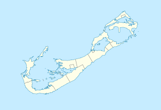
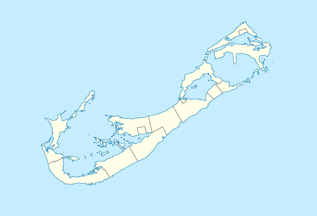
Deutsch: Positionskarte von Bermuda
Geographische Begrenzung der Karte:
English: Location map of Bermuda
Geographic limits of the map:
|
||||||||||||
| Dootem | |||||||||||||
| Kwel | Aanj werk | ||||||||||||
| Skriiwer of Konstler | NordNordWest | ||||||||||||
| Ferloof (Hü det datei brükt woort) |
|

|
Diese Karte wurde in der Kartenwerkstatt erstellt oder verbessert. Auch du kannst dort Karten vorschlagen, die zu erstellen, verändern oder übersetzen sind.
|
| Annotations | This image is annotated: View the annotations at Commons |
Datei wersioonen
Klike üüb en tidjponkt, am detdiar wersion uuntulukin.
| Dootem/Tidj | Föörskaubil | Miaten | Brüker | Komentaar | |
|---|---|---|---|---|---|
| aktuel | 18:29, 19. Det. 2009 | | 1.311 × 893 (58 KB) | NordNordWest | == {{int:filedesc}} == {{Information |Description= {{de|Positionskarte von Bermuda}} Geographische Begrenzung der Karte: * N: 32.41° N * S: 32.22° N * W: 64.93° W * O: 64.6° W {{en|Location map of Bermuda}} Geographic l |
Hü det datei brükt woort
Detdiar sidj brükt detdiar datei:
Globaal brük faan datein
Jodiar ööder Wikis brük detdiar datei:
- Brük üüb af.wikipedia.org
- Brük üüb an.wikipedia.org
- Brük üüb ar.wikipedia.org
- Brük üüb ast.wikipedia.org
- Brük üüb az.wikipedia.org
- Brük üüb ba.wikipedia.org
- Brük üüb be-tarask.wikipedia.org
- Brük üüb be.wikipedia.org
- Brük üüb bg.wikipedia.org
- Brük üüb bn.wikipedia.org
- Brük üüb bs.wikipedia.org
- Brük üüb ceb.wikipedia.org
- Plantilya:Location map United Kingdom Bermuda
- Grape Bay (luuk sa Bermuda)
- Spanish Point
- South Channel
- Soldier Point
- Saint George
- Port Royal Bay
- Rabbit Island
- Nonsuch Bay
- The Narrows
- Long Island
- Long Bay
- High Point
- Green Bay
- Grape Bay
- Great Bay
- Goat Island
- Crawl Point
- Bird Island
- North Point
- North Channel
- Pembroke
- Long Rock
- Black Rock
- Cat Island
Muar globaal brük faan detdiar datei.