
Datei:Highland UK location map.svg

Größe der PNG-Vorschau dieser SVG-Datei: 556 × 600 pixel. Ööder apliasangen: 222 × 240 pixel | 445 × 480 pixel | 712 × 768 pixel | 949 × 1.024 pixel | 1.898 × 2.048 pixel | 1.320 × 1.424 pixel.
Originaal datei (SVG-datei, grate: 1.320 × 1.424 pixel, dateigrate: 5,26 MB)
| Beskriiwang |
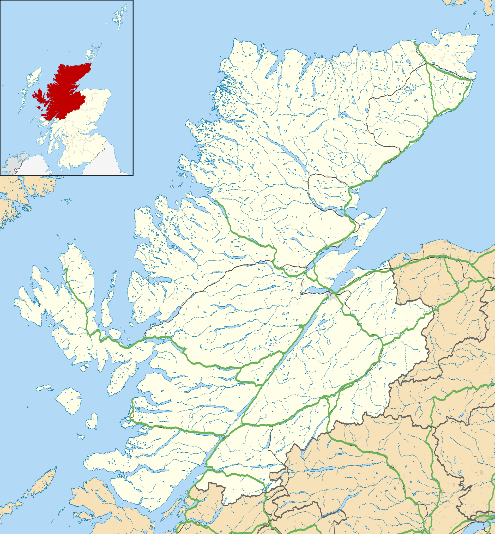
Blank map of Highland, UK with the following information shown:
Equirectangular map projection on WGS 84 datum, with N/S stretched 180% Geographic limits:
|
| Dootem | |
| Kwel |
|
| Skriiwer of Konstler | Nilfanion, created using Ordnance Survey data |
| Ferloof (Hü det datei brükt woort) |
Detdiar datei häält en lisens oner det Creative-Commons-lisens „Nööm nääm - Oner salew konditjuunen 3.0. Ei portiaret“. nööm nääm: Contains Ordnance Survey data © Crown copyright and database right
|
| Ööder wersioonen | File:Highland UK blank map.svg - Blank map |
Datei wersioonen
Klike üüb en tidjponkt, am detdiar wersion uuntulukin.
| Dootem/Tidj | Föörskaubil | Miaten | Brüker | Komentaar | |
|---|---|---|---|---|---|
| aktuel | 22:20, 26. Sep. 2010 | | 1.320 × 1.424 (5,26 MB) | Nilfanion | {{Information |Description=Blank map of Highland, UK with the following information shown: *Administrative borders *Coastline, lakes and rivers *Roads and railways *Urban areas Equirectangular map projection on WGS 84 datum, |
Hü det datei brükt woort
Detdiar sidj brükt detdiar datei:
Globaal brük faan datein
Jodiar ööder Wikis brük detdiar datei:
- Brük üüb ar.wikipedia.org
- Brük üüb arz.wikipedia.org
- Brük üüb ba.wikipedia.org
- Brük üüb bg.wikipedia.org
- Brük üüb ceb.wikipedia.org
- Brük üüb de.wikipedia.org
- Kernkraftwerk Dounreay
- Skye Bridge
- Caledonian Stadium
- Neist Point
- Victoria Park (Dingwall)
- Loch Eriboll
- Tarbat Ness Lighthouse
- Ardnamurchan Lighthouse
- Sandwood Bay
- Vorlage:Positionskarte Schottland Highland
- Flughafen Inverness
- Culloden Viaduct
- Fearn Airfield
- Bone Caves
- Wick Airport
- Flugplatz Broadford
- Flugplatz Plockton
- Affric-Beauly-Kraftwerke
- Cromarty Lighthouse
- Leuchtturm Dunnet Head
- Telford Street Park
- Chanonry Lighthouse
- Noss Head Lighthouse
- Cape Wrath Lighthouse
- Brük üüb en.wikipedia.org
Muar globaal brük faan detdiar datei.